Regular readers of this obscure little Los Padres blog may recall the exploratory-cum-trail recon in which the RSO, DAW-G, and I took part last New Year’s Eve. It was a little endeavor we dubbed Project Meriadoc, and it was a supremely satisfying day of bloodletting, brush-busting, and — naturally — a few pints.
At the time, we were working somewhat under a shroud of non-disclosure, but now I’m pleased to state the route we were re-establishing was the Fox Canyon trail in Ojai. This is a route in the Ojai Valley Land Conservancy‘s new Valley View Preserve, a section of of privately-held land within the Los Padres National Forest.
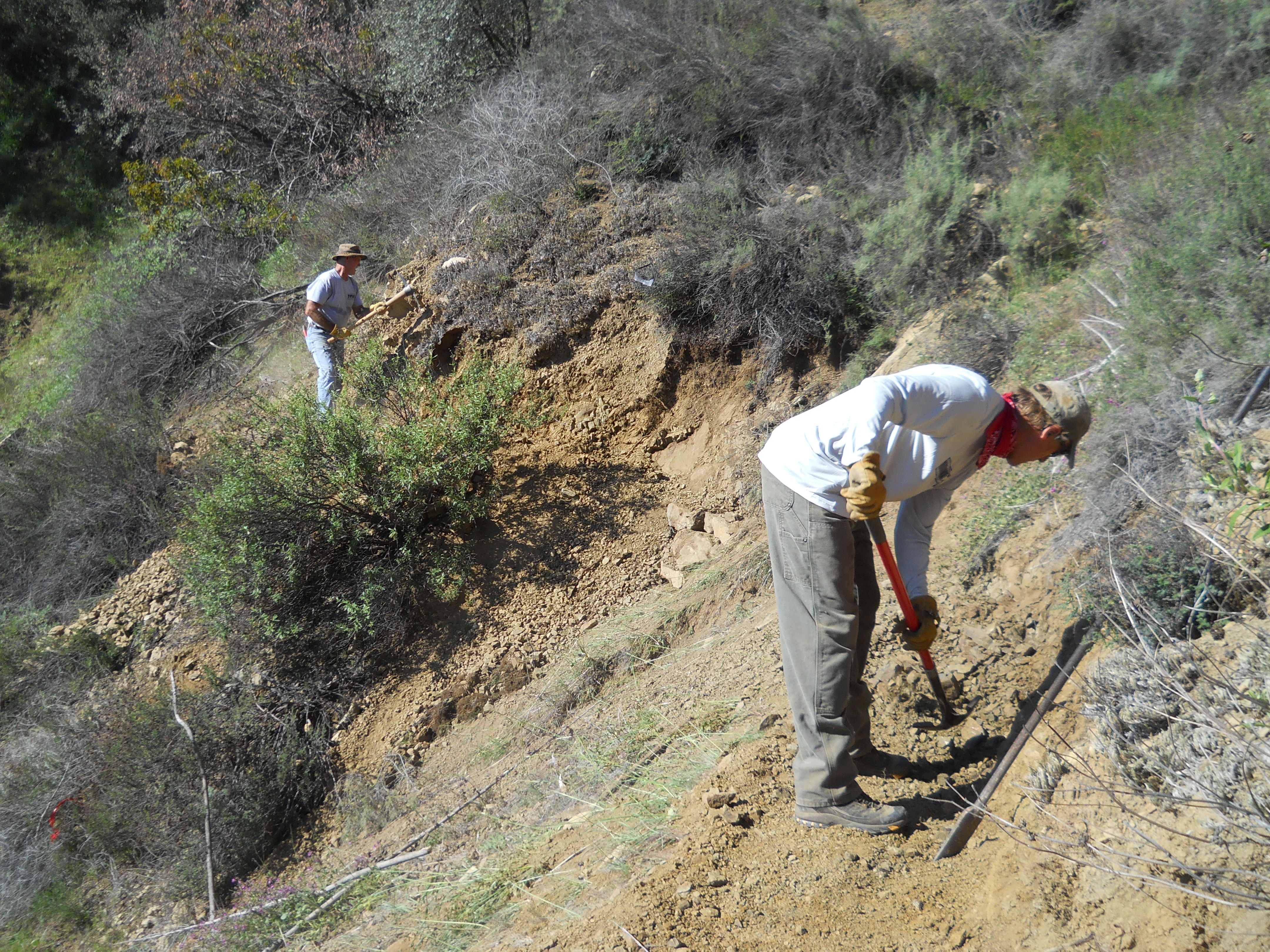
Before the cutting began, this project to renew the trail to its former glory — brainchild of the inimitable Rick Bisaccia — started with an old map. Naturalement! Any endeavor that begins with an old, obscure, and/or questionable route plotted to an old map is exactly the sort of thing for which we Los Padres Fellwalkers live!
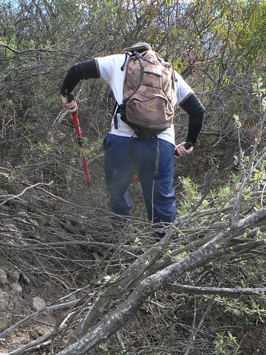
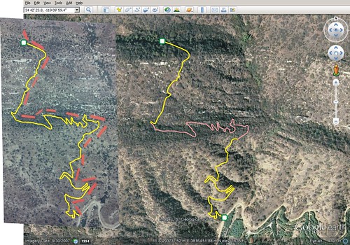
Rick forwarded me a grainy image he’d snapped from a wall-mounted aerial map, and asked if I couldn’t reverse-engineer a GPS track for the sake of some recon. What? Recon and map tomfoolery? Had I died and gone to forest nerd heaven? Leveraging the aerial map provided along with some earlier and later maps and some high-res Google imagery, we cobbled together a pretty good approximation of the route. I loaded said file to my Garmin, and we were good to go.
And as I’ve mentioned before, when phrases such as “bloodletting,” “could get ugly,” “I have no idea what to expect,” and “You might hate me when it’s over” are bantered about, naturally a call goes out to the DAW-G. He’s sort of a trail-finding pitbull you just point in the right direction and then unleash. And along with the “down for whatever” attitude of the RSO, we had the right trio to join Ranger Bisaccia’s merry little band.
And because we think we’re clever, we gave the project the “Meriadoc” label not only for the usual ode-to-Tolkien reasons, because this route was to be known as the Meriwether Trail (after one of the landholders involved in its original laying by legendary Ojai ranger John Boggs). As it turns out, its proper name was the Fox Canyon Trail, and so eventually that name was re-applied.
After our initial recon, a select crew of OVLC’s capable volunteers descended on the route and worked tirelessly for months, rebuilding what truly is fine trail. Those are the folks who put the real work in.
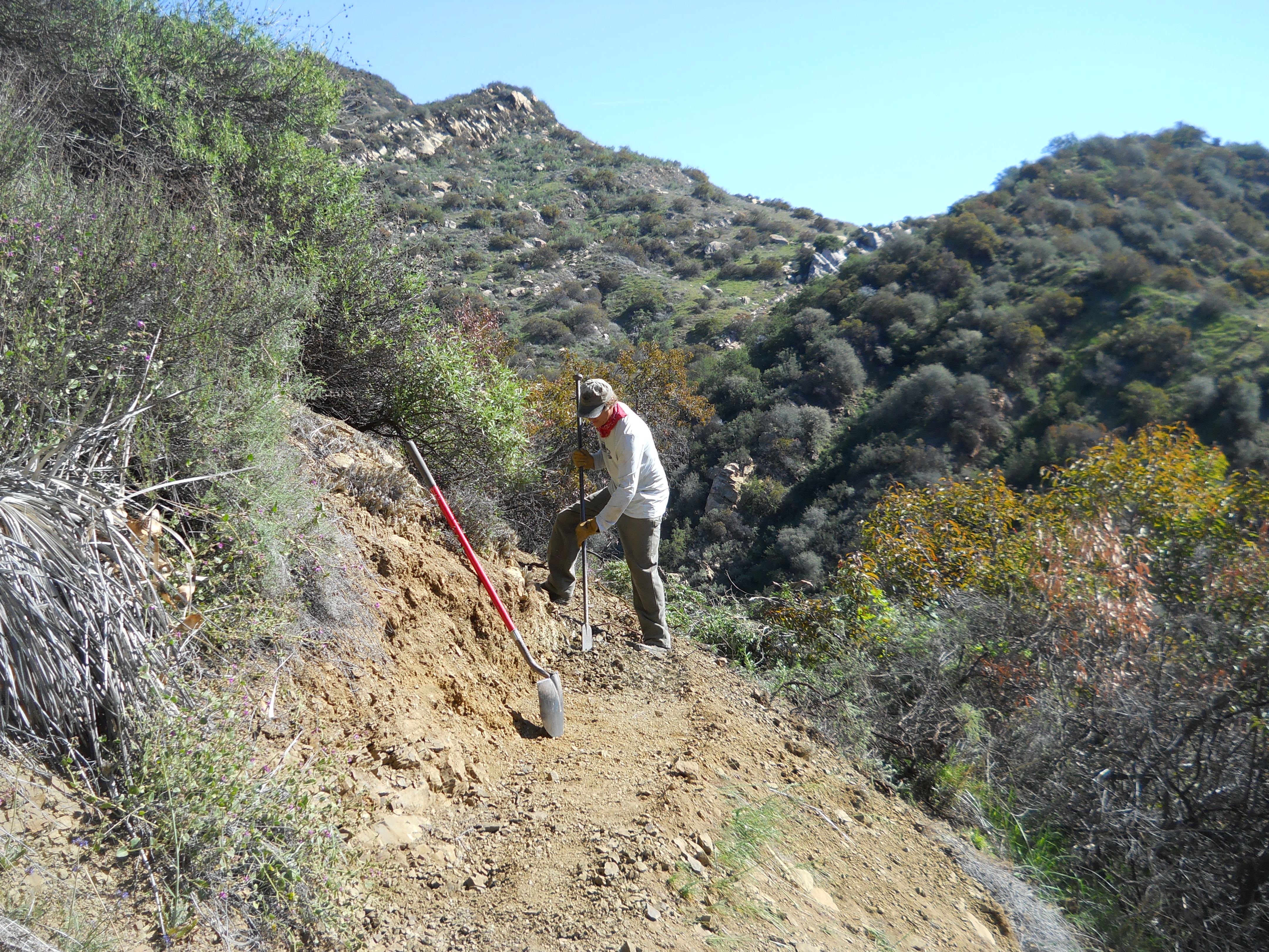

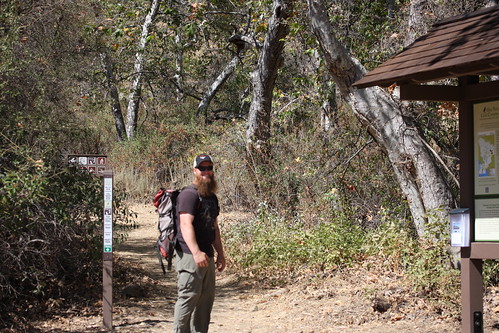
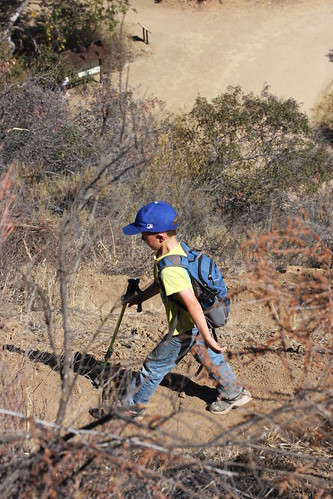
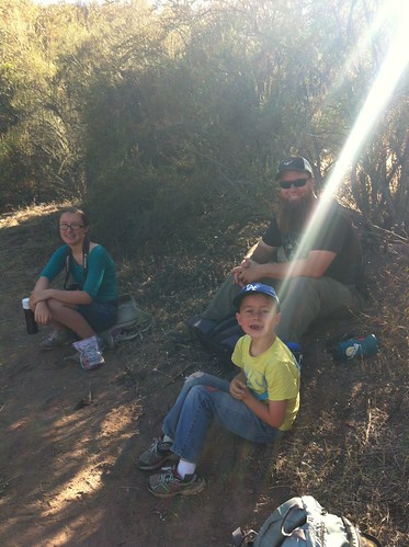
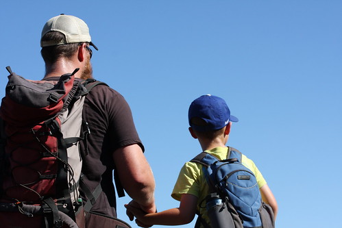
I wasn’t able to join June 15’s big grand opening (I was seated comfortably beside the 5-lb. bags of bacon crumbles at Coscto Oxnard doing a signing), but as the following day was Father’s Day, my wee monkeys opted to take me for a hike of my choosing. So, eager to see the new route in its completed and officially “open for business” glory, I opted for Fox Canyon.
TO THE HILLS!
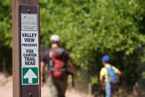
The new trailhead — for those who’ve walked Shelf Road — is at the first bend where that great flame-cut sign reading “NO TRASPASING” once hung from the chain-link fence. I’ll miss that sign, but the new trailhead — with a fantastic information kiosk, benches (including one donated by David Crosby), and good signage — is really top-notch.
Ah, How Sweet.
Upward!
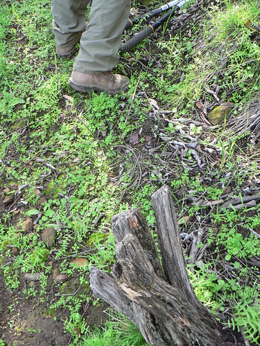
Over the course of the hike, I noted with some frequency where the current trail differed from both the original route and from the route effected by our crew back in December (we had a heck of a time finding tread on the lower third of the route that day). It actually makes for a pretty interesting study of route-finding, route-building, and route-re-finding, for those who obsess over such minutiae (guilty as charged).
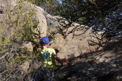
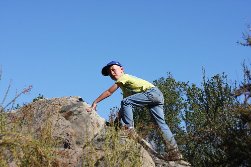
This first third of the trail is a pretty consistent climb, but the kids were game and despite the warm day they fairly motored up it (with some strategic breaks and GU Chomps distributed at opportune moments, of course). When we reached what local trail writer Perry Van Houten calls the Notch, we took something of a respite in what afternoon shade we could find.
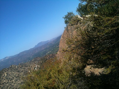
From the Notch, it’s a short mosey further up-canyon to the junction with the Foothill Trail, and easy sailing back along the Foothill and Pratt trails and then Signal Street for a nice three-and-a-quarter-mile loop.
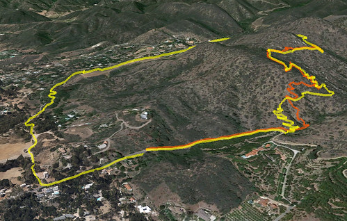
The Tale of Two Foxes. Red is the December recon route (note the considerable variation along the lower third); Yellow is the full Fox-Foothill-Pratt loop.
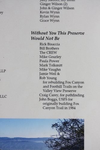
This was really the first time I was able to witness first-hand how the trail work and general outdoor advocacy we contribute today benefits the next generation. Obviously nothing I ever do to pitch in will be on the same scale as the contributions folks such as John Boggs or Rick Bisaccia have made and continue to make, but I think every little bit helps.
Get ’em out there!
Leave a Reply