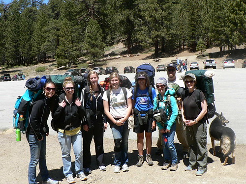
On Memorial Weekend 2013, the RSO and Perry in the Morning and I opted for a less-lazy-than-average Sunday stroll. Some traditions come and go or are met with exceptions, but for the past few years I’ve managed some pretty good treks on this weekend (usually with both the RSO and DAW-G and the uber-hund). This was going to be the first time in some years we weren’t getting an overnighter in, but beggars cannot be choosers.
Beartrap, Memorial Weekend 2009
Dry Lakes, Memorial Weekend 2010
McGill, Memorial Weekend 2011
Chumash Wilderness, Memorial Weekend 2012
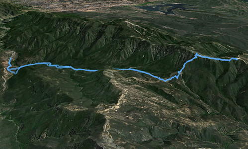
I’d not hiked the Murietta Divide in some time, and with weather projected to be a surprisingly mild high 60s, we decided a visit to Divide Peak was in order.
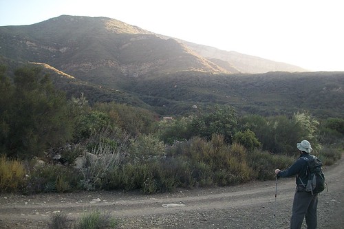
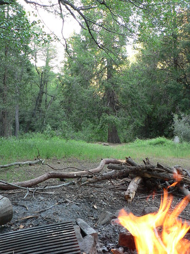
Early Morning, Matilija
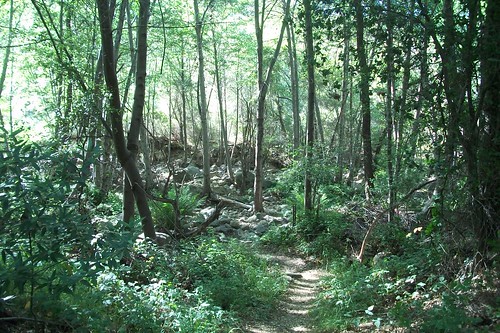
For those who’ve not walked it, the ascent of Divide Peak (at least coming from Matilija trailhead) is primarily a roadwalk along a USFS service road, so through-hiker snobs who find roadwalking beneath them need not apply! (I kid, I kid … mostly.) The water situation — as most of us backcountry wanderers have lamented of late — is pretty pathetic, and yet the seeps along the lower stretch of Murietta Road are still soggy and flowing, producing prolific stretches of horsetail the like of which are seldom seen this side of McGuire Spring.
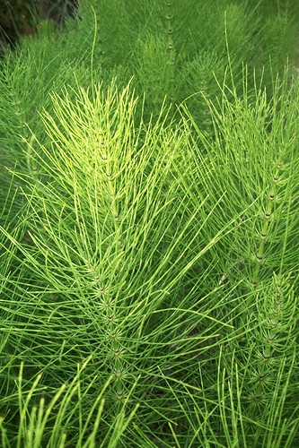
Murietta Horsetail, Spring 2013

McGuire Horsetail, Fall 2010
Murietta Spring and its associated seeps have been reduced to little more than stagnant ponds, though the blackberries, alder, and that always-impressive landmark Cottonwood next to the old spike camp are clearly still enjoying having happy, wet roots.

Murietta Spring Cottonwood
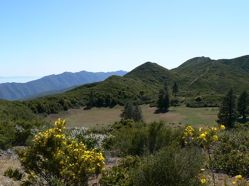
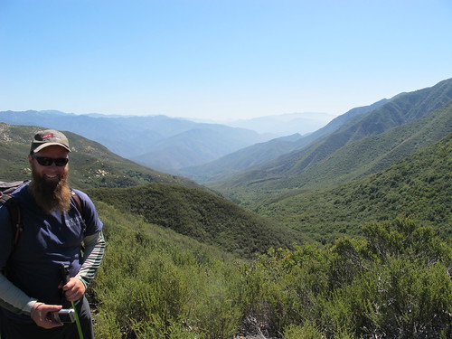
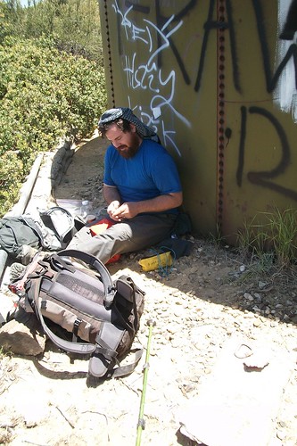
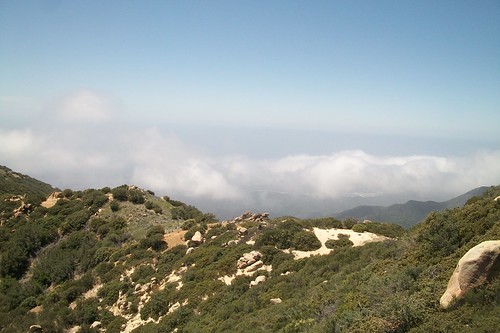
Some five miles into our day, as we approached Murietta Divide, we passed through a band of Pacific madrone (the existence of which along this route I’d rather forgotten about). At the divide, with fantastic views of Jameson Lake and the upper Santa Ynez headwaters ahead and the steep drainage of Murietta now largely behind, we stopped for the traditional second breakfast. While I was unpacking the stove and bacon, we were greeted by a pair of hikers, one of whom was local advocate Millennium Twain. We enjoyed an extended repast beneath the shade of a sparse mountain mahogany before continuing on and gearing down for that at-times ridiculously steep climb up the old Monte Arido dozer line.
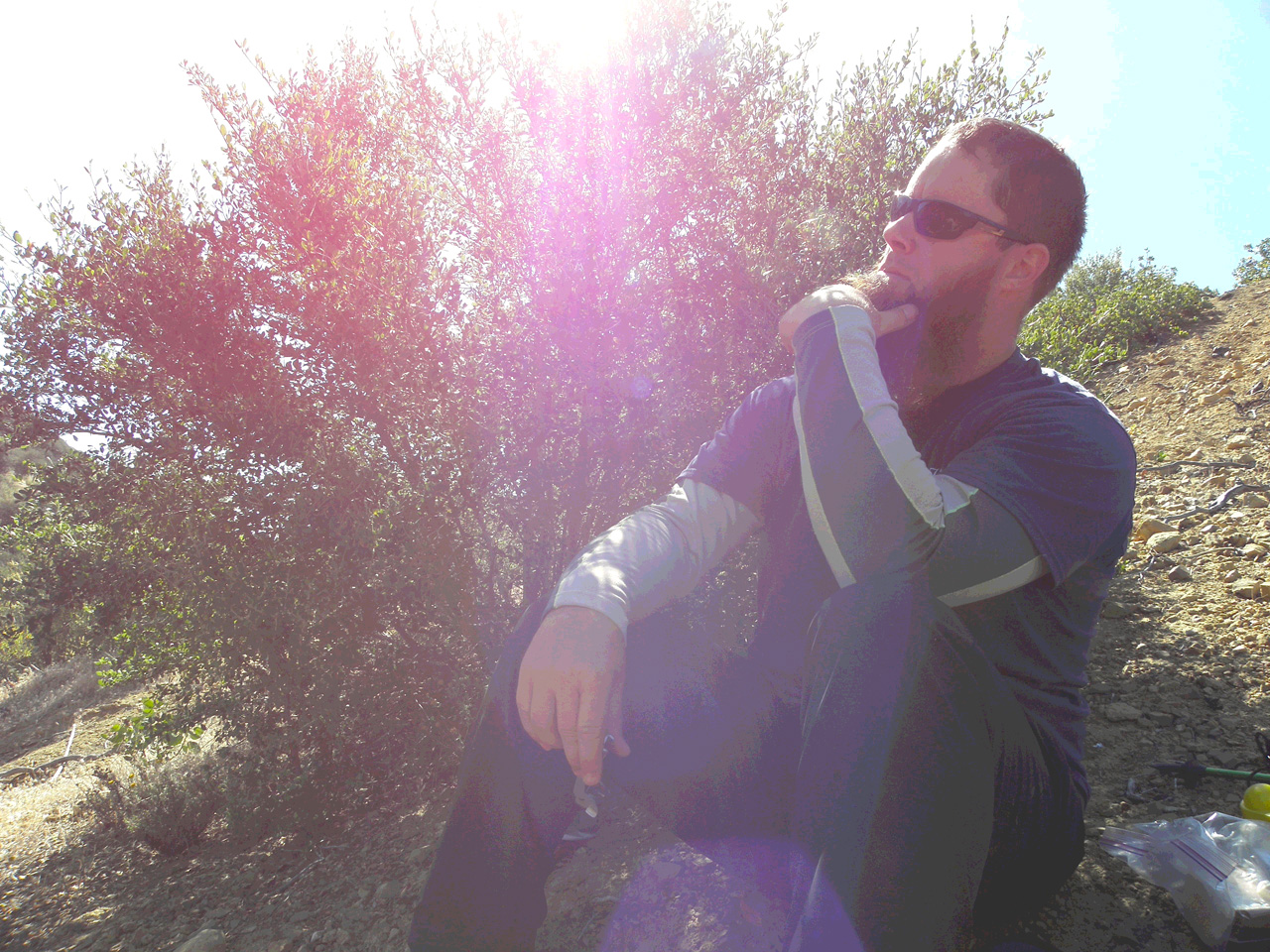
Acting Like a Dope, Murietta Divide. Photo courtesy and (c) Millennium Twain.
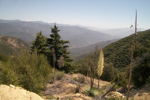
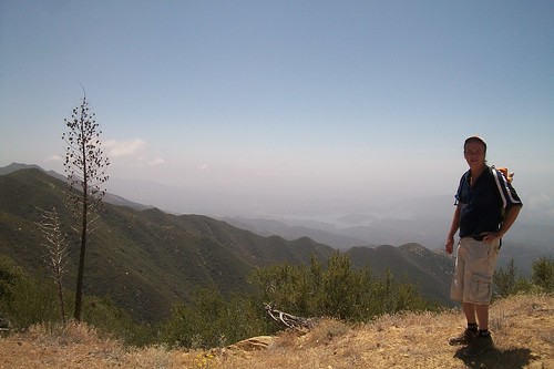
Topping out of Monte Arido and walking amongst the boulder-strewn and P. macrocarpa-dotted ridgeline, one is rather reminded of Hells Half-Acre along the McKinley Mountain Road along the Santa Barbara/Santa Lucia district boundary. We’d heard some OHV noise during our labored ascent, but were pleased to find no traffic once along the OHV route. We wandered along the road a while, reaching and documenting the somewhat underwhelming “peak” along the road, and resting a spell in the razor-thin margin of noontime shade provided by the old water tanks west of the peak.
The RSO Executing Some Field Repairs
After spending a god-awful amount of time trying to recover the Expat’s misplaced GPS receiver, we finally headed back down the way we’d come. The heat was a good 15 degrees warmer than the forecast had promised, and water among the group was getting a tad low, so we really felt no need to bake further.

Once back on the road, it was the usual toe-pounding toward the spring, made all the nicer by the grade and the song of a few Black-headed Grosbeaks that seemed to be tracking our progress. Once back down at the spring, I crawled into the muck and pumped a few liters for our return trek. No sense in not being prepared.
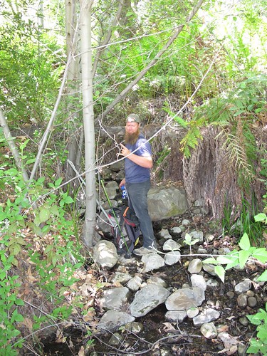
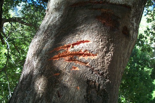
As we’d taken the road up, we returned via the Murietta trail, for both the shade the route proffered but also to remove a downed alder the RSO had documented the week before and which we’d told the Ojai RD we’d remove. So with the requisite job hazard analysis, safety briefing, and all such things fulfilled in accordance with the USDA’s backcountry tree removal process, we set to bucking up and moving the wayward tree from the trail.

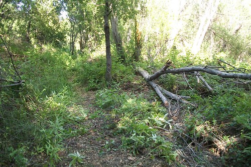
Open for Business!
Further toward the camp, the blackberry brambles are yielding an impressive crop, and so we stopped long enough to gather a few handfuls of berries (before the resident ursus population Bogarts them all), and marveled at the massive broom growing in the drainage. It — and the poison oak — are ridiculously healthy at this point.

And with Memorial weekend, my trekking of the southern Los Padres usually goes on something of a hiatus. Anyone have a timeshare in northern Scotland they’d care to lend out?
Leave a Reply