“Went to the shelf and dusted off the [six-eight]!”
It’s been a long while since I’ve gone on walk-about specifically to root out a diamond in the rough. They’ve long been a staple of things here in the dungeons of maptitude, but there are so many bits of history, so many corners untouched in this Forest … well, sometimes it takes a while to get back to some of the basics.
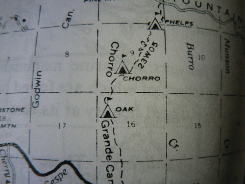
On the menu: Three Pines. This trail camp, originally slated to be among those removed from the Ojai RD during the fiscal crunch in the early 1970s, was considered a good candidate for removal due to its tendency to get flooded out with some frequency. According to Gagnon’s earlier guides, the camp was “wiped out on schedule” in the rains of 1973/1974 (the same storms that took out Beartrap No. 2), basically doing the Forest Service’s job for them.
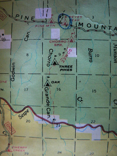
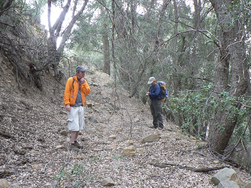
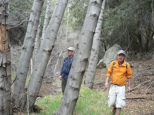
But you know how it goes: off the map seldom equals off the Forest. So on another wonderfully overcast Sunday morn, a rag-tag posse of LPNF wanderers assembled and headed up the Chorro Grande drainage. TO THE HILLS!
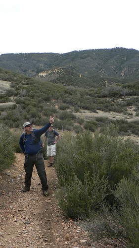
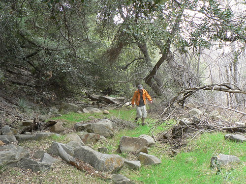
The crew enjoyed a great leisurely ascent of the drainage to Oak camp, and — as has become something of a LP Fellwalkers tradition of late — enjoyed an elevenses with single malt and bacon and eggs. This is easy living, this wandering of the wood.

It’s days such as these that remind us what a nice camp Oak is when there’s water and minimal bugs. In the summer — as with Murietta and Matilija and some spots along the Manzana — I tend to avoid this spot.
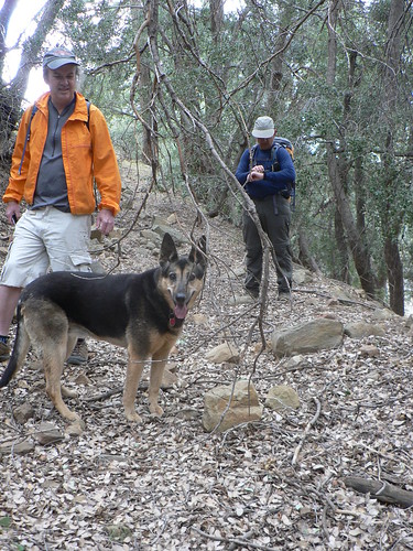
After enjoying our leisurely repast and watering the dogs, the RSO and LiPNAR headed back down-canyon, Marvin at their heels. Those silly real-world obligations cut into their time to roam, and so I was left to fly solo in terms of taxonomy, geologic IDs, and general natural sciences. Ugh.
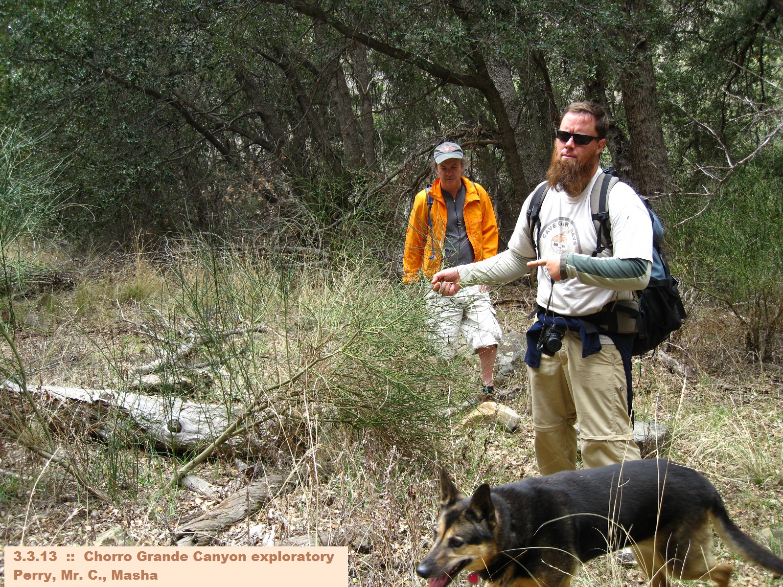
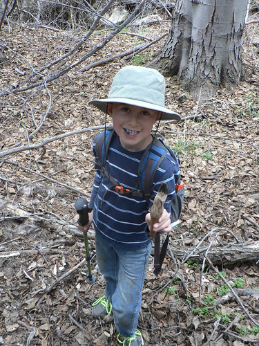
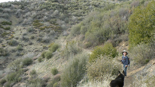
But Perry in the Morning, Bardlero Primero (Patron Saint of the 20W15), Little Man (emboldened by his recent sojourn to The Pines and now insisting on his new nom de voie, “Trailmaster Cobra”) remained game and along with myself and the uber-hund, continued up-canyon.
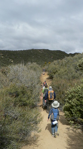
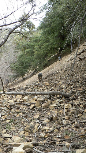
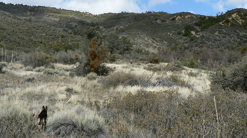
The Chorro drainage has always been an interesting spot, with its sections more akin to the San Emigdio Mesa than the southern slopes of Pine Mountain, road cuts every which way, and mining history. We IDed various roadcuts high on the slopes that were clearly not part of the better-known Gypsum Mining Road, and wondered aloud where they might lead or for what purpose they were originally intended. We seem to wonder such things aloud with some frequency these days.
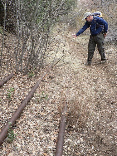
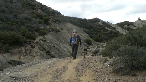
But then it was time to jump off the modern maps, figuratively speaking, and continue up the drainage where the current 23W05 begins its series of switchbacks toward the Expat‘s beloved Sentinel Trees, Chorro Spring, and ultimately Pine Mountain Road.

The Chorro Grande Sentinel Trees, Summer 2011. Image courtesy and (c) The Los Padres Expat.
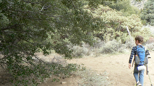
We were (pleasantly) surprised to see the tread in to Three Pines — or at least where we figured Three Pines once stood — was an old road bed, albeit a rather over-grown one. The width of the path could have been written off as some exceptionally fine clearly and trail-building, until we came across a swathe of that well-known noxious roadside weed, the broom (S. junceum). That left no doubt this had not only been a roadbed, but one traveled at least enough to propagate these invasives.
Mr. C. does not approve. Photo courtesy and (c) Bardlero Primero.
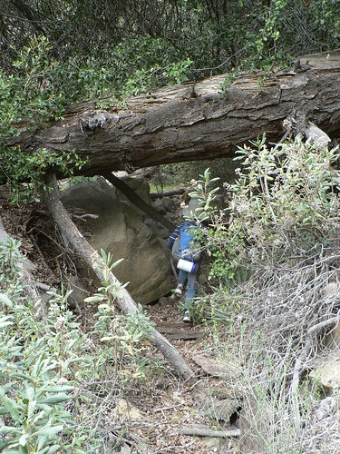
The route was marginally rough, but relative to some of the brush-busting the southern Los Padres can throw at a hiker, this was smooth sailing.
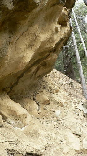
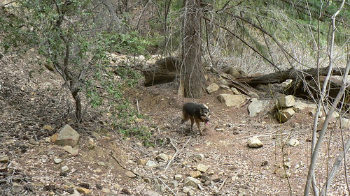
As we continued up-canyon, we four noticed an exposed stretch of canyon wall high on our east that didn’t quite jive with the rest of the topography. As we worked our way northward and it became plain it was dropping on a course to intercept us, we began to wonder as to whether there was another road way up-canyon that might have intersected the bed upon which we now trod. Curious to sort this, we cut NE and scrambled in the wake of the uber-hund and her enviable paws-i-traction (forgive me at least that one pun; cheers).

Photo courtesy and (c) Bardlero Primero.
A road it was indeed.
We pondered a moment, took some bearings, and then decided this road cut was even nicer than that below upon which we had been traveling, and so followed this northward as it curved above the banks of the upper Chorro waters. And yes, it ultimately didn’t intersect with our road bed below, but proved instead to be the upper stretch. Our “intersect” was actually a hairpin of a switchback in this road. And what praytell did we find at the apex of said hairpin?
Three Pines, naturalement.
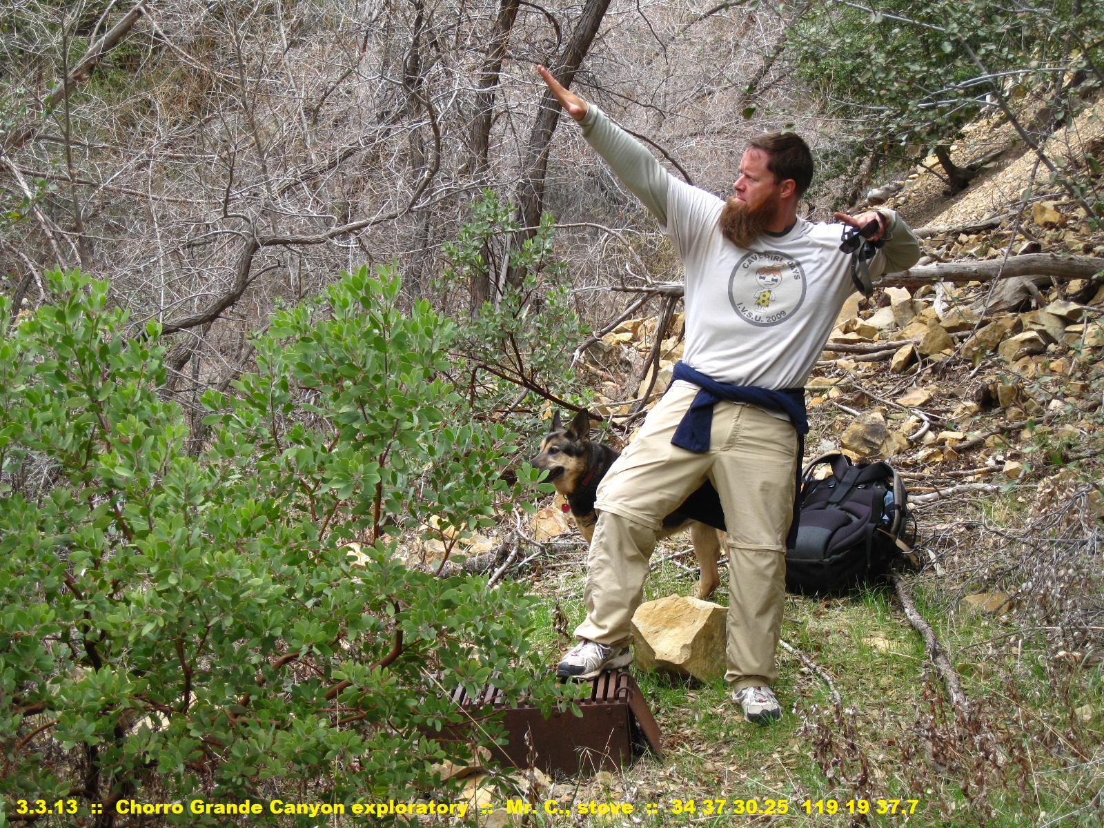
Photo courtesy and (c) Bardlero Primero.

The situs of this camp didn’t quite synch with the one photo I’d found in the Los Padres archives some time ago, one originally labelled “Three Pines,” then struck and re-named “Chorro.” When I originally came across the little Kodachrome slide of the image, I opined immediately that it was more likely Three Pines … as I felt it certainly wasn’t Chorro Grande (or Big Chorro, as it has sometimes been known). Perhaps Phelps, that other site supposedly in this canyon but lost in the tangle of cartographic misplacement and labelling errors? Who knows.
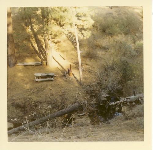
Three Pines, Maybe … circa late 1960s. Image courtesy LPNF Archives.
Phelps? WTF?
So we picked around for some time, heading considerably further upstream, and noting with a small degree of cynicism there wasn’t a damned pine to be found in this canyon, let along three of them. Everything here was either alder or Big cone Douglas-fir, the latter which might be subjected to a misnomer of genus Pinus … but even for all the grief I give the peeps who name the camps, I think (guess?) they’ve have known the difference (I know, that’s uncommonly giving of me).
Eventually I came to the concession the photo I’d uncovered with neither Three Pines nor Chorro, and so we headed down-stream with a few new mysteries yet to unravel (are you detecting the pattern here? Yes, I thought so.).
We took an extended segue from the trail once closer to Oak and explored the Posts guerrilla camp; those details however we’ll save for another day.
And so as is often the case, we found ourselves at the nearest watering hole for a few pints, toasting our exploratory success. This was Little Man’s first “diamond” recovery, and of course it was another proud moment for me when he ordered his libation just as I often do, with a twist.
“I’d like the darkest beer you have,” I always request of the server.
“I’d like the darkest milk you have,” quoth Trailmaster Cobra. And nothing says “success” like chocolate milk.

Slainte!
Leave a Reply