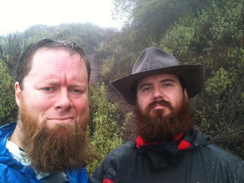
Redbeards of the Fog and Drizzle, Unite!
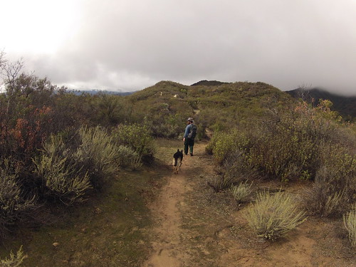
On a recent and ridiculously soggy Saturday, the RSO and I were convinced by Mother Nature to eschew an ambitious 48-hour sojourn to the Monterey RD of the Los Padres. We agreed an exploratory of the Kennedy Ridge with our classic line-up (we two bipeds and the uber-hund) would make for a solid Plan B.
For those who’ve not explored this area, it is accessed first through lands held by the Ojai Valley Land Conservancy … specifically in this case, the Ventura River Preserve. The fine folks with the OVLC — led by the inimitable Rick Bisaccia — have put a huge amount of work into protecting the wildlife and habitats of the numerous preserves under their care in the Ojai Valley.
In the past couple of years, I’ve visited the Ventura River Preserve at least a dozen times, and it’s a favorite of both the Cub Scouts and Girl Scouts I lead on monthly outdoor adventures.

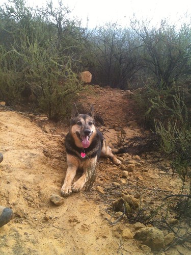
Little G and the Ventura River, November 2011
Similarly, Jonny and I’d been to Kennedy Ridge a handful of times, but really hadn’t spent much time exploring the route heading west, or the historical trail leading up to the long-abandoned East Camino Cielo truck route (and for you Santa Barbarans, I speak of the true East Camino Cielo … the road from the 154 to Romero Saddle would be better-described at the Middle Camino Cielo. Don’t argue, just accept it).
So what better weather than this overcast loveliness to notch another few miles of idle exploratory?
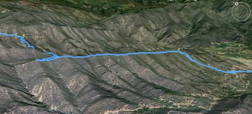
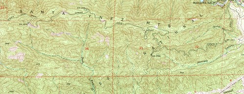
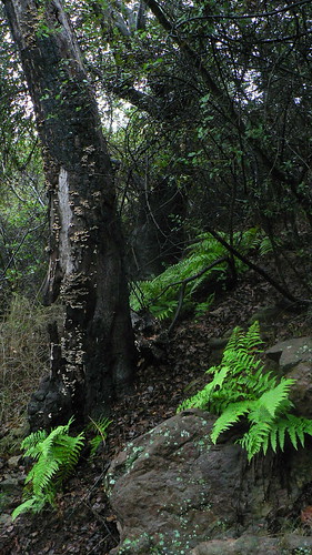
A leisurely mosey through abandoned orange groves, past the dead sentinel tree always sure to host a woodpecker or two (the Cubs are especially fond of said tree), and across the Los Robles diversion canal — all this in a ridiculously leisurely half-mile — and then a few minutes of seesawing single-track and service roads lead to the start of the ascent proper, very near the boundary of the Los Padres. From here, it’s not quite a mile of steady ascent gaining about 600′ over three-quarters of a mile. Not strenuous by any means, but every glance back over the Ojai Valley yields increasingly impressive views. It’s a fantastic little climb, and rewards the visitor with a prime vantage point atop the east edge of Kennedy Ridge (first yellow pin in the map at the top of this entry).
The Kennedy Ridge project was originally conceived as a joint effort between the OVLC and the USFS, and was to utilize historic singletrack and dozer lines up to the long-abandoned (far) East Camino Cielo truck route. From there, the route would follow the old road westward to its terminus at the Ocean View Trail (24W08; the other [far western] end of which now comprises the Divide Peak OHV trail). This reclaimed route would reestablish a path all the way from Ojai to Romero Saddle, and along a much more remote stretch than the current option of following the Murietta Divide road. Forest Service budget and resource shortfalls however put the project on indefinite hold in early 2011, and so now the only work being done is from the occasional hiker’s boots and (if the route is lucky) somebody who happens to hike with loppers and/or flagging.
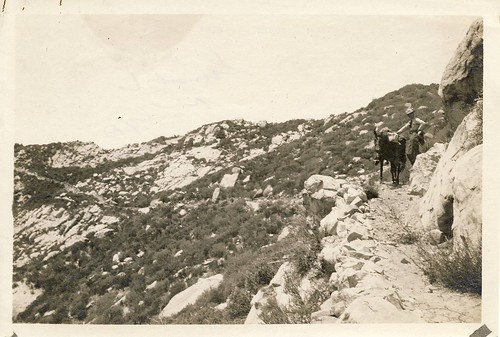
Ocean View Trail (Westward View), 1923. Image courtesy LPNF Archives
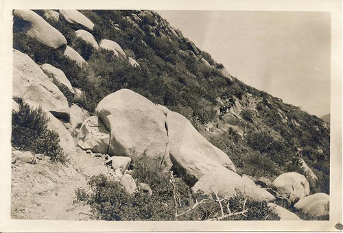
Ocean View Trail (Eastward View), 1923. Image courtesy LPNF Archives
After perusing the 1952 Matilija quad and comparing our route with historical routes and long-forgotten features, we continued westward along Kennedy Ridge. The trail here remains walkable, as the USFS endeavored to develop a p-line (preliminary route) to provide access to the area for various -ologists during the initial approvals process.
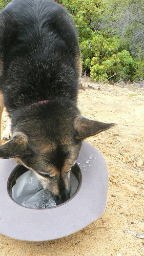
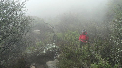
Up to this point, things had been heavily overcast with the occasional drizzle, but right about the time we reached the headwaters of Kennedy Canyon and had watered up the uber-hund the rain kicked in and so rather than loiter and ponder geologic features here, we kept on keepin’ on along the saddle and into the ravine leading toward the Camino Cielo (this is where the route follows a much older track than that depicted on the 1995 Matilija quad, and one I misplotted a canyon too far west in the guide … errata forthcoming).
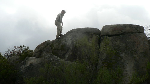
Evidence of very old cuts in Wheeler Fire-scarred manzanita lent a pretty humbling perspective after we wrapped around the headwaters and started the last climb in earnest; this route obviously has a pretty long history from an era long before the RSO and I even walked this earth (let along walked this forest).
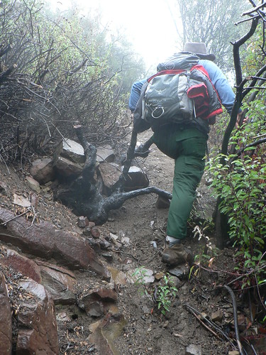
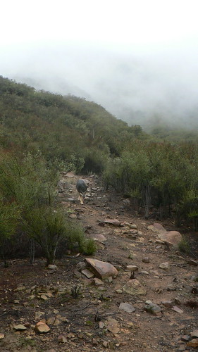
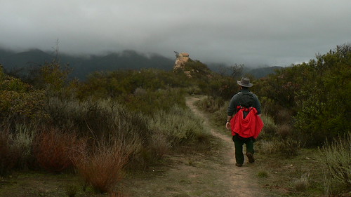
Things got a little slippery right near the end, but we were glad to spot a piece of flagging and come out onto the old roadbed in fewer than four miles from where we’d parked the truck. Nice!
Atop the Camino Cielo, we picked around and went through the portable map cabinet again, and then headed westward along the old road. The road bed was alternatively pretty clear and other times completely smothered in talus and shale alluvium, and soon the rain (and wind!) picked up, and so we took short shelter beneath a hedge of laurel sumac and mountain mahogany for a spot of lunch.
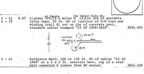
We read through the 1948 County of Ventura Dept of Public Works’ vertical control datum for the old monuments that run the length of the old road (and a few of which some hardy explorers have recovered in recent months), but eventually the weather convinced us a Guinness and single malt was starting to sound really good, and so with intent to return again at the next opportunity, we began our descent.
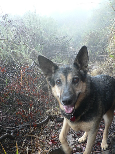
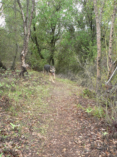
It was an increasingly soggy affair as the rain continued, but still in great conditions, and with spirits remaining high … even the uber-hund, usually indifferent to the weather, seemed exceptionally excited by the precipitation and the opportunity to explore under its cover.
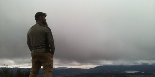
Saturday, Soggy Saturday
Just as we were about to approach the drop off from Kennedy Ridge, the rain abated, and we were able to grab a few final views from this fine vantage point. Naturally we took that as an invitation to visit again.
And so we shall.
Leave a Reply