Lookout! No. 4: McPherson Peak

Fourth in a Series

McPherson Peak

McPherson Peak, 1984. Photo courtesy ewalkerphotography.com

The lookout atop McPherson Peak — removed in the late 1980s and supplanted by communication arrays — was of the same vintage as that still atop Frazier Mountain. Given the views McPherson Peak commands (or, perhaps more accurately, its prominence), the lookout was situated on the ground rather than atop any real tower assembly.

Views of the Cuyama River Valley, the Caliente Range, and even the southern Sierra Nevada are fine from this vantage point.

Upper Aliso Trailhead

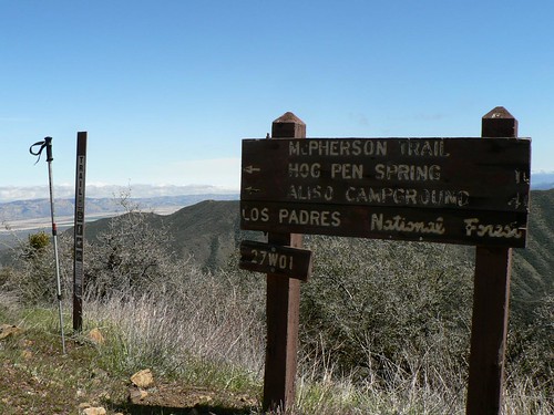
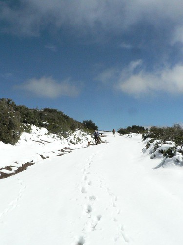
Nico, ADig, ZK, and I — along with four of the pack — made our way up to the peak via the McPherson (Aliso Cyn) trail a few months ago, and in the snow and slush found a site now dominated by US Air Force communication arrays and their accompanying outbuildings. Like Mt. Piños, this site serves as something of a relay between Edwards and Vandenberg AFBs.

Peak-bound

The cistern behind the intrepid bearded trekker shown at the top photo is the same as that on which the next-gen intrepid bearded trekker shown below stands.

Giggles


Comments

3 responses to “Lookout! No. 4: McPherson Peak”

  1. No better fate is possible for that old McPherson shot than to be part of the Craig R. Carey Lookout! series. The route that day in 1984 was also via the Aliso Canyon trail through Hog Pen Spring. Time marches on: the old wooden lookout has faded into history and the peak has gone hi-tech.

    1. I was wondering if anyone knows the background story of the old white wooden cross up the hill side from the path that leads to hog pen springs from aliso park. the cross is about 3 feet tall and has a cowboy hat on it.

  2. Rudolf Nottrott Avatar
    Rudolf Nottrott

    Hi,
    Watching your video on Youtube “Lookout Towers of the Southern Los Padres” reminded me that there is a great relief topo map at the Santa Barbara Courthouse, about 6×10 feet large, perhaps you have seen it. So I went there to refresh my memory. The map has little light bulbs for various lookouts, but they don’t light up anymore, and so it’s a bit like ‘Where is Waldo Woo’, hard to find things. Also, the courthouse is closed, but the guard let me into the reception area anyway, which is where the map is on the wall. I still remembered and quickly found some of the lookouts, e.g.
    – Black Mountain, 35.395°N 120.3543°W
    – Branch Mountain, 35.1852°N 120.0843°W
    – McPhearson Peak, 34° 53.32′ N 119° 48.76′ W
    – Hi Mountain, 35.2597°N 120.4249°W
    – Cuyama Peak, 34.754082, -119.475786
    – Cerro Alto peak, 35.9905°N 120.0351°W
    – Also Mount Solomon and Manzanita Mountain, both around Santa Maria/Orcutt, and South Mountain (don’t have coordinates for those)

    You may already know all this, but I just thought you’d like that great relief topo map, if you haven’t already seen it.
    Best Regards, Rudolf Nottrott, Santa Barbara (alternate mail Rudolf-Nottrott AT Newgle.com)

Leave a Reply

Your email address will not be published. Required fields are marked *