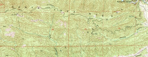
There has been no shortage of idle musings and short reports from this site of our numerous excursions along the Kennedy Ridge trail and the (Far) East Camino Cielo, exploratories which culminated to a degree with the brush-busting mess that was our November 2013 exploratory beyond the “known road” of the old East Camino Cielo truck trail.
“Over Here, Dude.”
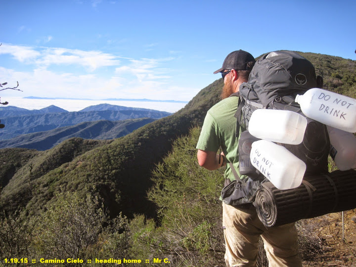
Even as recently as this past Fall the RSO and DAW-G and I “enjoyed” a heat- and illness-shortened ramble onto the Camino, an abbreviated trek that only further served to whet our appetites for a proper and thorough expedition along its length.
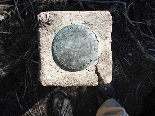
A handful of us backwood wanderers — those types who take interest in recovering old survey monuments, anyway — were especially taken with the prospect of locating the 22-DF monument that stood somewhere very close to where we had finally turned it around that trip.
Further still were the whispers and tales from a friend of a friend who knew an old-timer, and then a former Sespe-area wilderness ranger, and then another ranger … who all swore there was a reliable spring box at the end of this road, where the eastern trailhead of the long-abandoned Ocean View Trail (24W08) once stood. Then of course both Hank and Ranger Boggs had offered up anecdotes about the spring box; one as a child riding on the back of his father’s motorcycle, the other as a ranger traversing the Ocean View shortly after the 1985 Wheeler Fire.
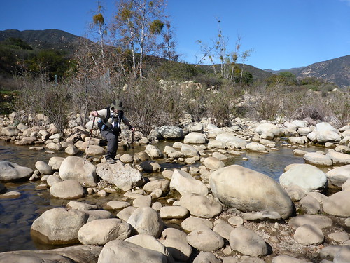
Traversing Amargosa Creek with the Billy Monster and Hank, Spring 2009
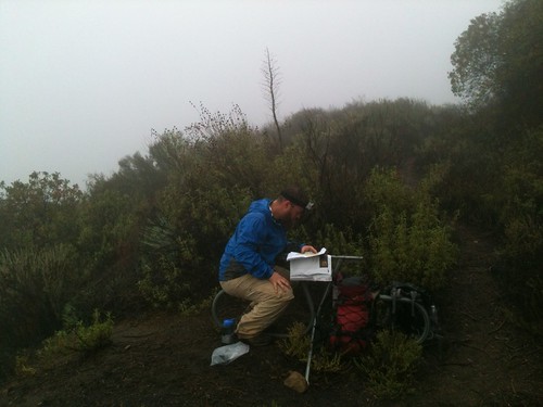
Ranger Boggs Dropping Knowledge; image courtesy Millennium Twain
And twice before the RSO Jonny and I had headed out on this route to determine whether that springbox actually existed, and in what condition. For different reasons we hadn’t made it all the way. And whilst I certainly don’t fancy myself to have any sort of “peak fever,” I wanted to find out. And I wanted to find out first-hand … not by reading about it in a newsletter or on a friend’s website.
But dammit, third time’s a charm. We were going to see this done.
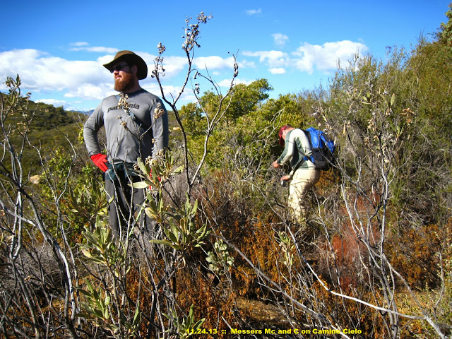
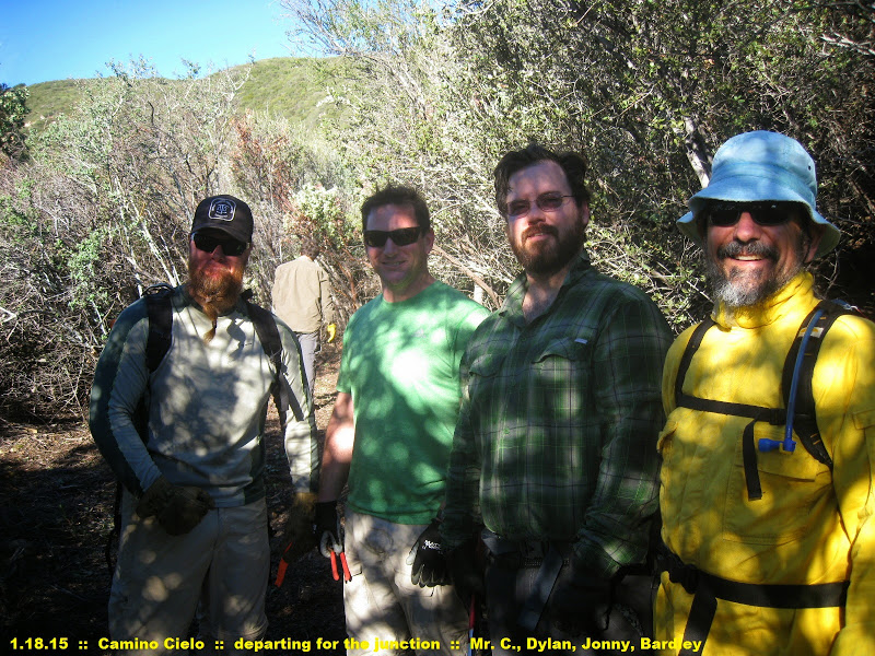
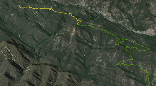
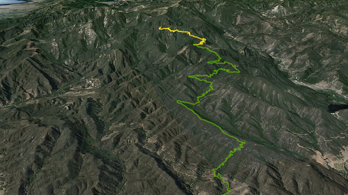
Over the course of 14 months since our three-day bloodletting along the Camino, a lot had changed. Volunteers and trail runners had wandered along this route, clippers or loppers in hand, and had slowly extended the manageable corridor of travel along the traditional bear routes. And so in keeping with the tradition of unseasonably warm MLK weekends spent in a remote corner of the Los Padres (e.g., the Santa Paula Trifecta of 2011), the RSO, Bardlero Primero, and I decided it was time to see how far exactly one could get … and to then go further.
Water, as always, is the main logistical concern when planning treks along this route … because there isn’t any. So in the months previous we had cached several gallons at various points along the route, and — as usual — we each had a few extra gallons with us for the morning climb.
Day the First
It was a gloriously lazy amble upon which we three — joined by fellow Scout leader and glutton for punishment Mr Sherman — embarked that chilly Saturday morning. We had caught word only days before that another crew was to have headed out along the Kennedy Ridge route that same morning, consisting of Regulus, Histosol, Aussie Rob, and Deb … sounded like it might turn into something of a brush-busters reunion!
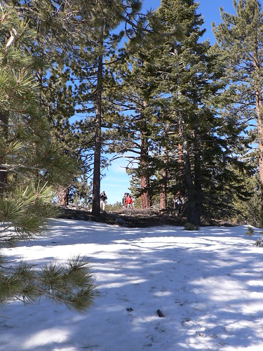
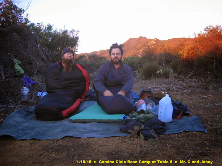
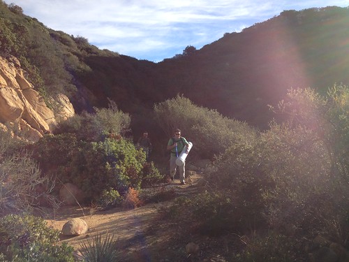
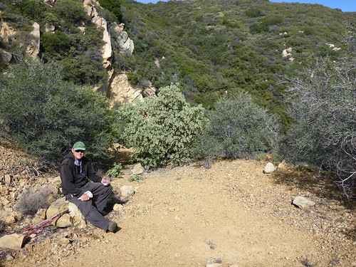
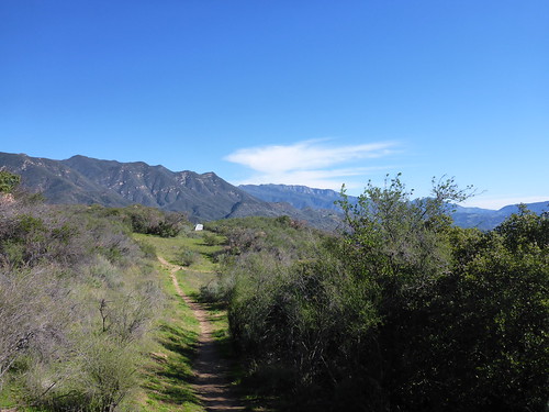
With extra water in hand, we made our way up to Kennedy Ridge via the OVLC’s Ventura River Preserve, taking a short break at USFS Table No. 1, and again at USFS Table No. 2. We weren’t in any hurry — we only wanted to gain the USFS Table No. 6 site near where the old road made its first crossing of the old Richfield Pipeline — and so upon passing through “the grotto” and reaching USFS Table No. 3, we lounged in the mid-morning sun and snacked lazily on smoked oysters and crackers. Bardlero may have taken a short siesta.
USFS Table No. 3 in Much Different Weather, Fall 2012.

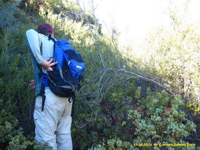
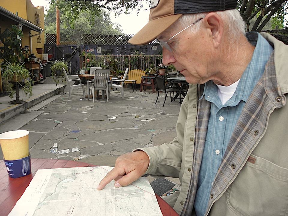
Bardlero Taking Notes, Winter 2015.
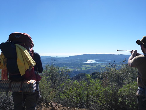
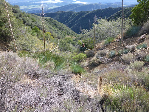
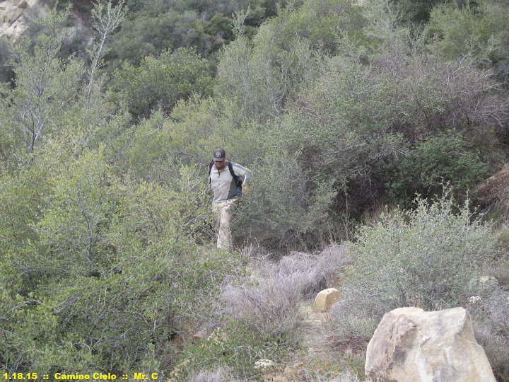
And from USFS Table No. 3, we sauntered ever-so-casually upward those few miles, bumping into Spencer B, documenting the USGS survey monuments, soaking in the views of the Pacific, and pausing to admire the notable madrone discussed by botanist Henry Pollard in 1943 which had survived the 1985 conflagration (and to this day remains an impressive and notably southern specimen).
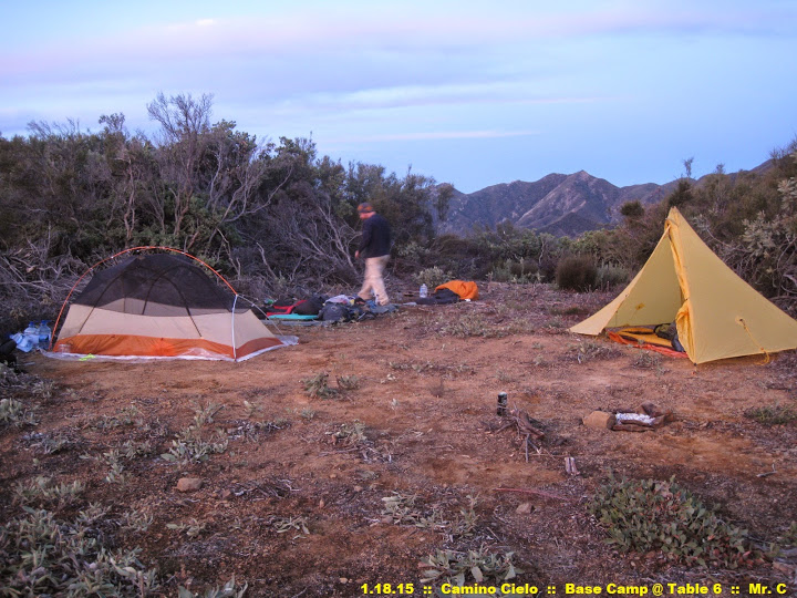
We reached USFS Table No. 6 — the site of which on our previous trek had been a thin, rather suspect stretch of tread along the old road bed — in the early afternoon, and in due time laid out our tarps and fired up the stoves. We were joined shortly by Regulus, who had been hanging with the other crew for much of the day (said hikers were bedding down at USFS Table No. 7, which we felt would be too cramped with our team).
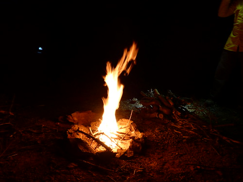
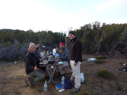
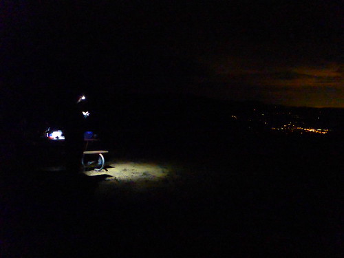
California Campfire Permits safely tucked into our jacket pockets and the earth still damp from the recent rains, we set to make a small fire, and enjoyed its warmth into the wee hours, with the Resident Science Officer giving a clinic on the season’s constellations and items of astronomic interest. Soon enough we were joined by Nico, who blasted up from the Upper Oso TH under lamplight in record time.
Day the Second
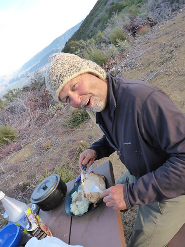
We awoke the next morning excited for the day’s goal. We warmed up around a morning fire, enjoyed a spectacular sunrise, and ate a disproportionate amount of calories.
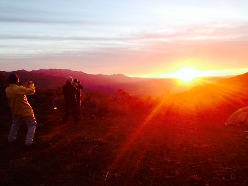
Picture of a Guy Taking a Picture of a Guy Taking a Picture of a Guy Taking a Picture of the Rising Sun; Winter 2015
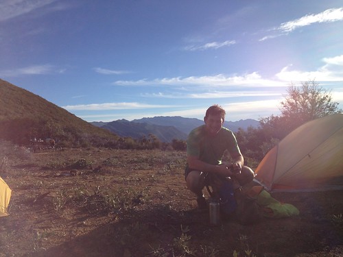
Keeping with the tradition of approach under lamplight, DAW-G strolled into camp just as the sun illuminated camp. Nico, Regulus, and Mr Sherman grabbed their loppers and rolled early to meet the other crew and get to clearing a path along the road bed.
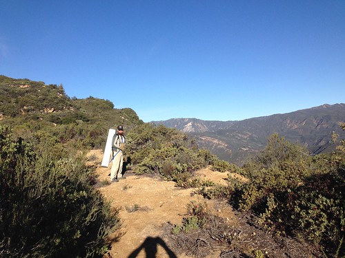
We grabbed tools and emergency water cache tubes that protect our stores along the route from bears and other mischievous creatures, and headed toward USFS Table No. 7 … and beyond.
Pack Mule No. 1
Pack Mule No. 2
Histosol & Co. were already neck-deep in lopping and tossing, and so we had a brief conference about the day’s goals and expectations. We pulled Mr Sherman from his work, and the five of us effectively disappeared into the thicket.
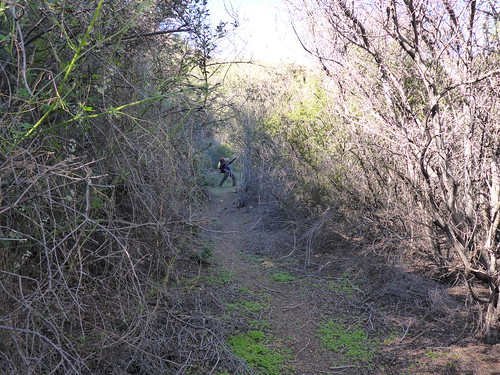
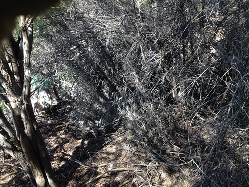
It was, in a word, ridiculous. Hours of crawling on our knees, manzanita and mountain mahogany tearing our clothes, puncturing our skin, ripping holes in our gear, and us all the while shaking debris from out of our shirts and other raiment at any opportunity to stand vertical for a few moments.
DAW-G Ahead and Left
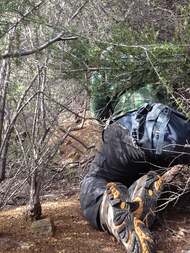
In the RSO’s Wake
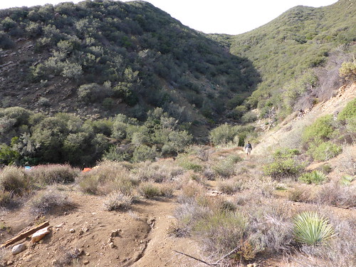
About a third of the way through we passed through a large rockslide, and enjoyed stretching our legs for some rock-hopping, but soon enough it was back to pushing through bear tunnels and wrestling with a ridiculous hedge of chaparral.
In time both Mr Sherman and DAW-G, with other obligations back in the world, bade us farewell and made the eight miles back down to Ojai. We three continued on, and perhaps a quarter-mile from our goal, we stopped for lunch. We were beat, and if I were one to “take the temperature” of the trail, I’d say morale was ebbing. This had been the longest mile of our lives. And my knees hurt like hell; all the scrambling on hands-and-knees was taking its toll.
Spent
But then Bardlero broke out with a bag of jelly beans … and man, it felt like somebody had jammed a can of spinach down my throat and injected a tank of nitrous into my boots.
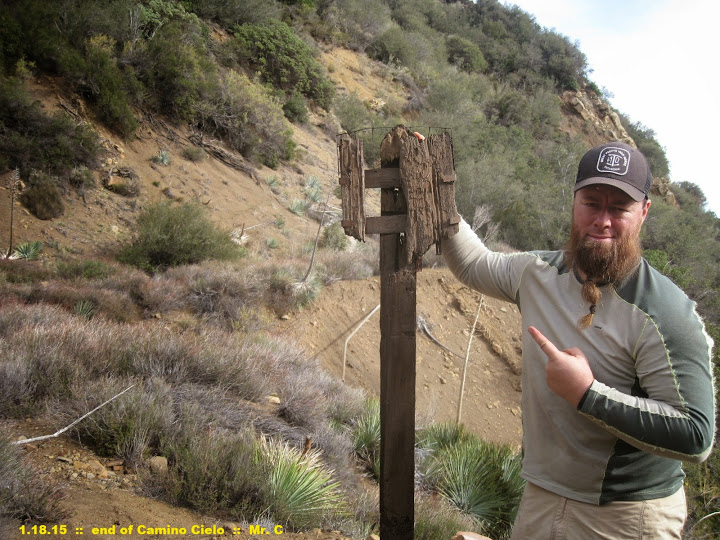
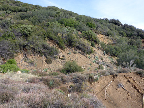
We pulled our packs back on and after another half-hour of brush-busting, we turned the next curve of the old route into a wide stretch of yucca- and boulder-dotted roadbed. And as with our recon of the long-forgotten Rowe’s Gulch campsite back in the Winter of 2012, the first item we found was a 4×4 post.
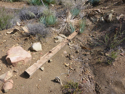
We’d made it! Third time had proven the charm, indeed. The boys and I spread out and began picking around … this was the literal end of the road, but also the junction with the eastern terminus of the old Ocean View Trail.

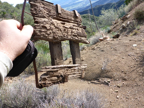
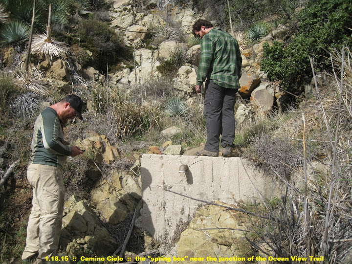
And behold, the spring box. This had been our holy grail the past year.
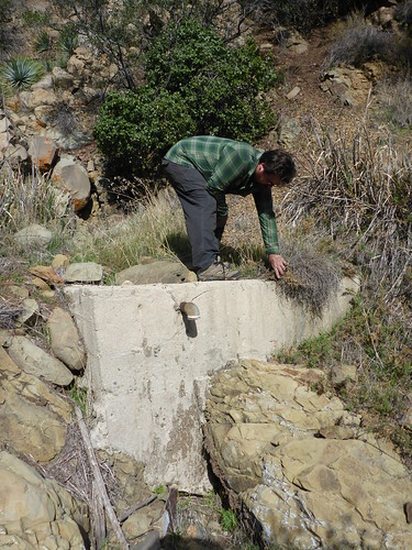
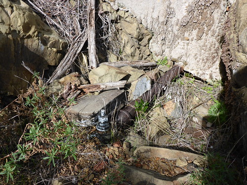
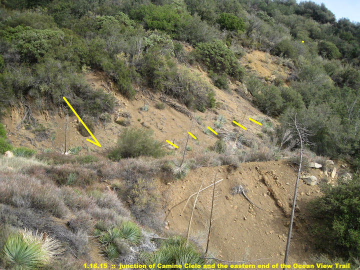
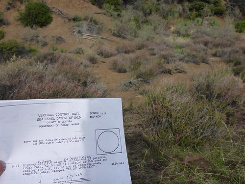
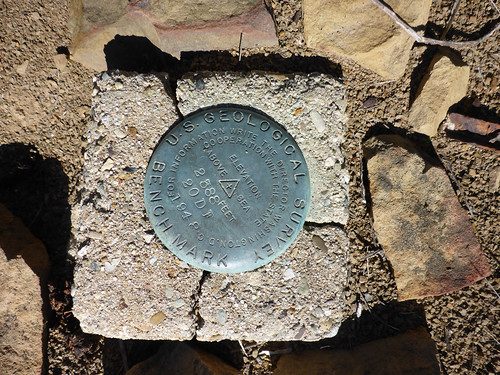
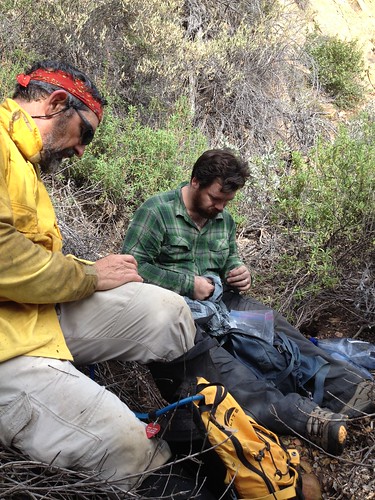
We spent a fair amount of time picking around the site, attempting to locate the survey marker (which we suspect may have been lost in a slide that appears to have occurred in the past few decades), digging up old sardine cans, old auto window glass and other detritus. Jonny walked the first few yards of the Ocean View Trail, becoming in all likelihood the first biped to do so in over a quarter-century. All the while, Bardlero may have taken another short siesta.
Photos were taken, Facebook and Instragram were updated (I know, I know, shameless, but so giddy I was), and I placed a phone call to the Billy Monster, who by this time had arrived at camp to share our last night out. I leveraged both his and Hank’s expertise while picking around the spring box (the more accurate name in this instance being a “low-head dam”), and traced the route of pipe that once led from the water source to … who knows. Good times.
It had taken hours to reach our destination, and so — not wanting to hike any of the return route in waning light — we eventually began our way back to camp. We were delighted to find that Mr Sherman, DAW-G, and Nico had all executed some additional clipping on their respective returns, further facilitating our exit. Despite this most welcome assistance … there may have been a siesta somewhere.

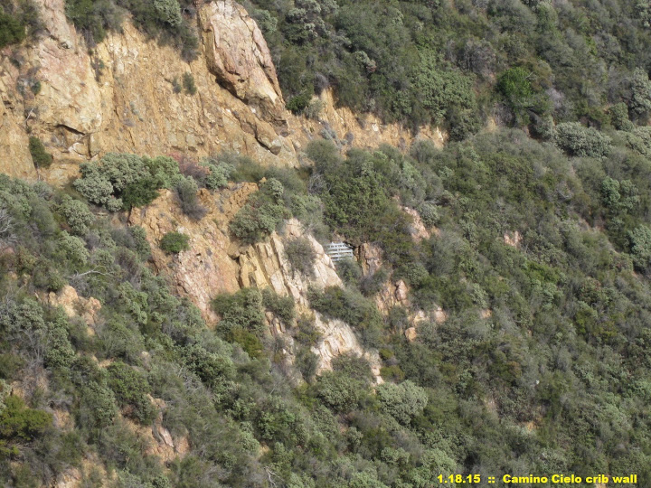
Old Road Cribwall

Caro Blanco Views
We arrived back at USFS Table No. 6 with sunlight to spare, and shared our findings with the crew. Hearty meals were prepared, and much whisky and beer was imbibed in celebration.

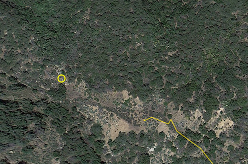
And while we sat around the fire with our beverages, the RSO pointed out that now — having stood upon the site — he could discern the spring box’s location on his phone’s Google Earth app. And, of course (he is the RSO after all), he’s absolutely correct:
Day the Third
The next morning, we remaining five headed out after a sound night’s sleep. In the straightaway just below Pollard’s madrone between USFS Tables No. 4 and 5, lo and behold we connected with the Los Padres Expat. And so it was a fine mid-morning descent with the Expat and we making a blazing (by our standards, anyway) descent back to the OVLC’s Oso trailhead.
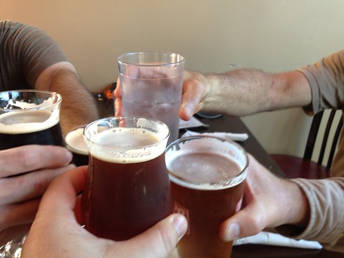
And as with any sojourn into the backwood on the Ojai RD, we closed with beers and burgers at OBC. It was a well-earned and especially sweet meal this time ’round.
Cheers, boys. ‘Til the next exploratory.
With huge photo thanks to Bardlero Primero.
(The lower portion of this trek — Kennedy Ridge — is detailed in Route 53 of Hiking and Backpacking Santa Barbara & Ventura.)
Leave a Reply