For those who tread the Sespe Wilderness and its immediate environs with any frequency, the Harrison map is (or should be) your go-to “old reliable.”
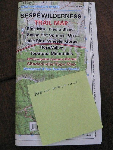
And here in the dungeons of maptitude, much time is spent reviewing, annotating, and comparing various maps from sundry sources. When the latest incarnation of the Harrison map was released earlier this spring, I noted some of the differences and posted them — in slightly different form from those shown below — on the Condor Trail’s facebook page. This review compares the 2007 against the 2012 edition (having not purchased the 2010 edition; thanks to REW for reminding me to mention this).
For the most part, mine are objective observations, not some web poser’s critical ramblings. Maps are hard work, and when created by folks who actually hit the trail, critics don’t count. So there won’t be any star ratings or such silliness … if you want to see stars head out to the Chumash on a clear night or something.
That said:
- The Red Reef trail’s reroute from this past summer (between Harris Tunnel and the Timber/Red Reef divide near Horsethief) is shown; nice.
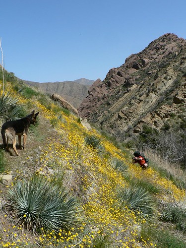
Red Reef Trail, Spring 2010
- Road closures that have occurred since the 2007 edition (or before) and made permanent have been reflected in the new map and include Blue Point and Hardluck Roads.
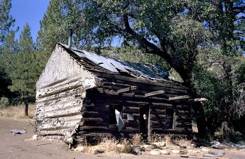
- The upper Alder Creek route (McDonald Cabin to east/main Alder confluence) and the McDonald campsite have been dropped. I believe this is in line with the USFS having pretty much abandoned the route post-Day Fire.
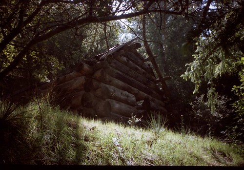
McDonald Cabin, Spring 2000. Image courtesy and © Carol Day
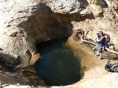
- The trail from upper Timber Canyon to Santa Paula Peak, the route up the East Fork of Santa Paula Canyon, and the route connecting both of those to Cienega and Bluff are not included.
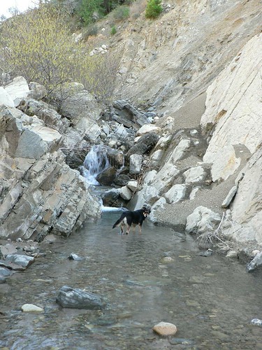
East Fork Santa Paula Canyon, Winter 2011
- The new Fishbowls Trailhead (formerly the Grade Valley campground) is now shown; this wasn’t included in the last edition and I’m glad to see it here.
Fishbowls, Fall 2009
- Stonehouse campsite has been dropped, but the mileage intervals (3.1 and 0.7) along the Stonehouse Trail are still presented separately … that could prove cause for confusion.
Stonehouse, Fall 1986. Image courtesy and © The Los Padres Expat
- Saddle Skirt campsite is still shown, but shown where USFS datasets plot it … so it’s misplotted. This is an error that has continued to appear on maps for the past two decades (Saddle Skirt is considerably further north).
Saddle Skirt, Spring 2012. Image courtesy and © MSubbotin
- In the same vein, the Buck Creek campsite shown isn’t the official site (this is easily forgiven, because many datasets and legacy USFS maps also plot this incorrectly). The site the map shows is actually nicer than the USFS site, so no harm done there. Also on that route, the Hardluck “cut-off” trail that lessens that final walk out on the road back to Los Alamos by about a half-mile does not appear.
Buck Creek, Summer 2011. Image courtesy and © DMuse
- Twin Pines campground (Alamo Mountain) has been dropped. This is consistent with current USFS maps, but the site was still there as of last summer.
- Baker Cabin (burned in the Day Fire) is still shown along the Snowy Creek Trail.
Baker Cabin, Summer 1983. Image courtesy and © The Los Padres Expat
- The stretch of the Agua Blanca route between Ant and Cove is still not included, but no fault in that. I am somewhat surprised Cove and Hollister (and heck, even Log Cabin) are still shown, but am glad they are.
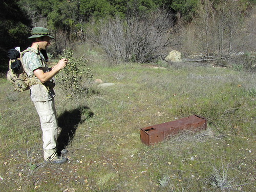
Log Cabin Camp, Winter 2011. Image courtesy and © Ventura County Canyoneering
- The guerrilla campsite near the Potholes cabin was shown as a campsite in the 2001 and 2007 editions; no longer. Approved.
- The symbol set has also changed slightly. Minor, but of note.
Subjective Stuff:
- I’m not a fan of relief shading, but the shading on this new map isn’t as jarring in its shading as I found the 2007 edition; I attribute some of this to the fact the map better-contrasts its colors so that the relief shading isn’t so overbearing. I approve.
- Willett Hot Springs is still shown as a separate camp site from Willett (where the cabins are). I wish it weren’t. I don’t like folks camping right at the springs. It’s rude.
- Also of note is that various labels are now in Cisalpin, a Swiss font that is increasingly popular in cartography. Personally, I like the font (and use it in maps myself). On the whole the map makes good use of Cisalpin and Univers *whoop whoop whoop* … oh, sorry, set off the font geek alarm there.
- Map price has increased $1.00 to $9.95. Absolutely worth it.
Leave a Reply